
FUELBREAK
Wildfire risk
Wildfire assessment built by a firefighter, for firefighters. Parcel-level property work and large-scale fire prediction in one app.

Wildfire · Forest health · Field data
Sensaro builds the reporting apps crews carry into the woods and the models that turn what they record into fire behavior maps. One loop, both ends.
Product line
Each app writes to the same records, so a beetle report filed on a ridge in the morning shows up in the risk model that afternoon. Pick the one that matches your job.
Wildfire risk
Wildfire assessment built by a firefighter, for firefighters. Parcel-level property work and large-scale fire prediction in one app.
Property owner
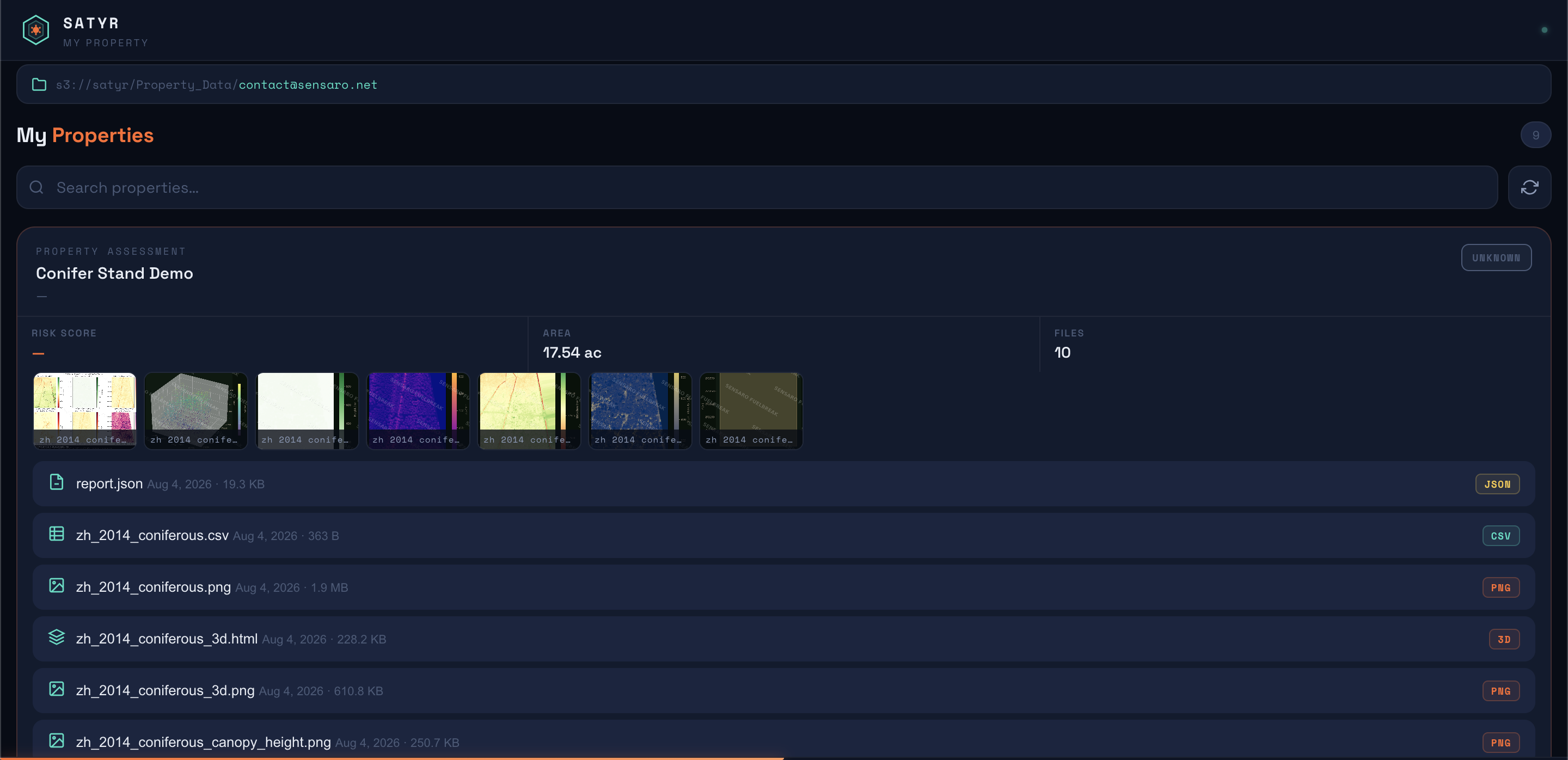
The client side of SATYR. See the drone survey, IR roof assessment and mitigation work done on your property.
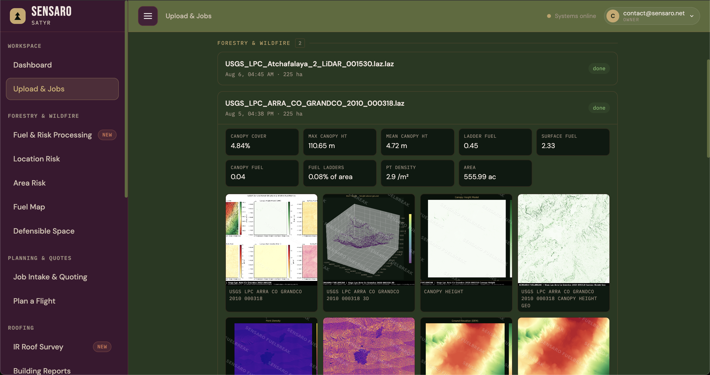
Drone survey
Point cloud processing and automated IR drone roof assessment. Per-image analysis, PDF output, sent straight to the client.
Forest health
For Colorado mountain residents. Track mountain pine beetle and connect with licensed pros who remove infested wood properly.
Crew operations
Post gigs, let crew sign up for shifts, track who is where. Built for Twin Timbers Tree Service, now opening to everyone.
Also from Sensaro
The tools we publish in the open — models, parsers and field tooling, licences stated plainly — alongside the non-fire apps: stand health, perpetual licensing, the consulting network and financial sentiment.
In the browser
Probabilistic fire behavior across slope, aspect, fuel load and current weather. Draw an area, run it, read the result.
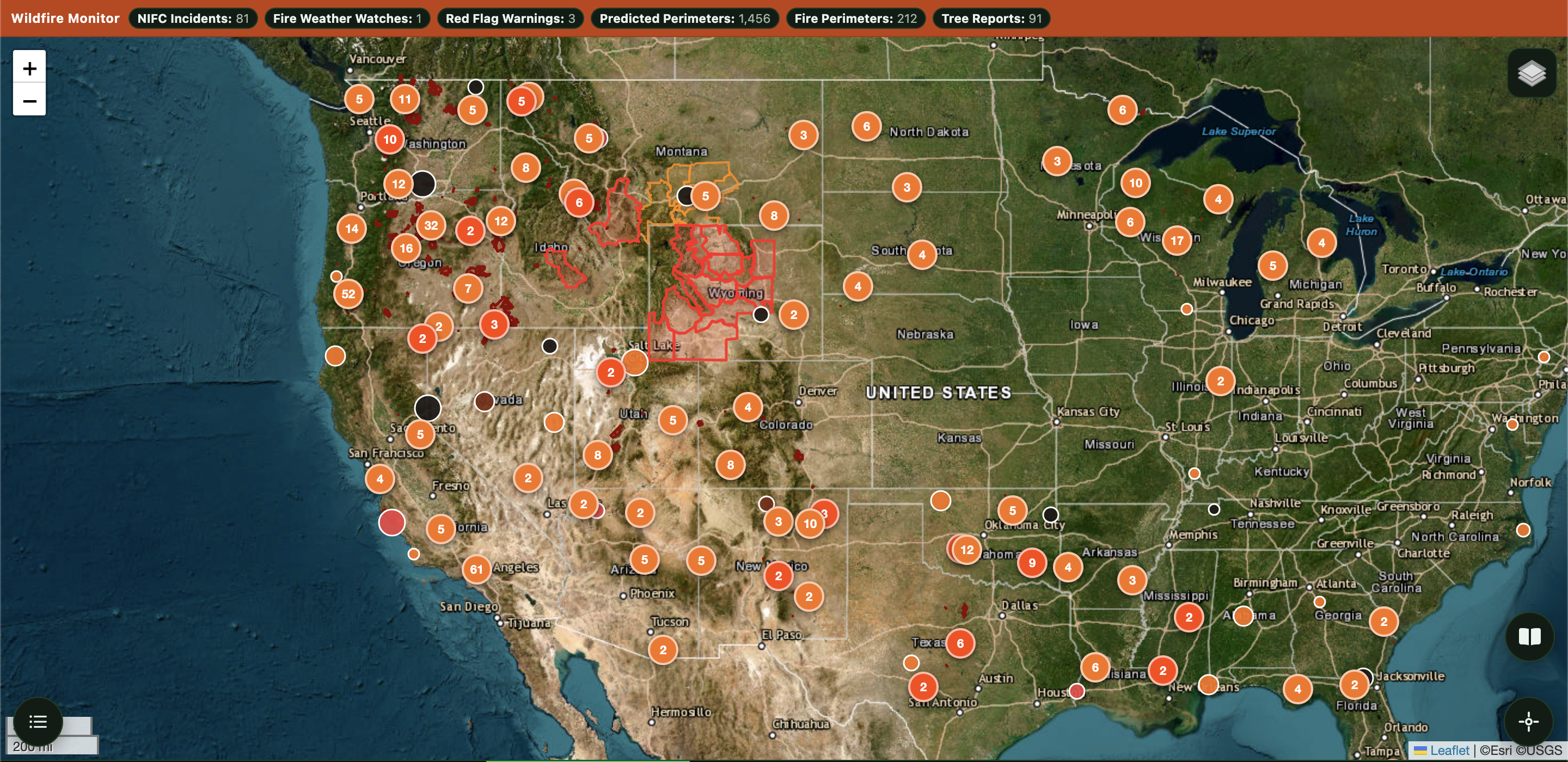
wildfire.sensaro.net →Active fires, red flag warnings and reported forestry problems on one map. Public, and open to your reports.
Open the map →Pests, dead or diseased trees, fuel build-up near structures. Everything submitted refines the risk models. Takes about thirty seconds.
File a report →Post gigs, fill shifts and see who is assigned where. Built for outfits running seasonal crews.
manage.sensaro.net →The spread model behind an endpoint, for GIS workflows and automation. Docs, keys and rate limits.
Read the docs →Fire and forest health layers for a single property or a whole district, in one view.
Open the dashboard →Who this is for
Mitigation planning, response support and land management, with a record of what was treated and when.
Corridor and asset risk assessment, plus the documentation compliance reviews ask for.
Scheduling, field capture and proof of work that holds up when a client asks what got done.
Direct access to the models and the underlying data through the API, without going through the interface.
About
Sensaro started with a question that kept coming up on the ground and did not have a good answer: where is this fire actually going to go, and what can be done about it before it starts.
The answer needs data nobody was collecting at the resolution that matters, so we built the collection tools first and the models second. Each piece is meant to work on its own and better alongside the rest.
What shipped, what broke, and what is being worked on right now. Updated as things happen rather than on a schedule.
Read the log More about SensaroFound a problem
This site is under active construction. If something is broken, wrong or confusing, the fastest way to get it fixed is to say so here.